As the long weekend approaches, British Columbia’s mountain passes are expected to see a significant amount of snowfall. According to Environment Canada, a weather system moving in from the Pacific will bring snow to the province’s higher elevations.
The snow is expected to start falling on Friday and continue through the weekend, with accumulations of up to 20 centimeters in some areas. This could potentially cause hazardous driving conditions on the Coquihalla Highway, the Okanagan Connector, and the Kootenay Pass.
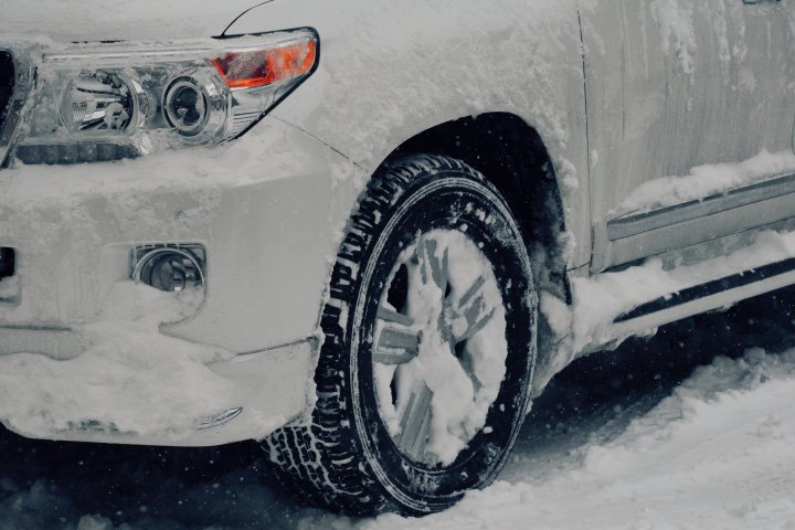
Drivers are advised to prepare for winter driving conditions and to check road conditions before heading out. The Ministry of Transportation and Infrastructure has also reminded motorists to have proper winter tires and chains on their vehicles.
The snowfall is a welcome sight for ski resorts in the province, as it will provide fresh powder for skiers and snowboarders. However, it also means that avalanche risk will be high in some areas. Avalanche Canada has issued a special warning for the long weekend, urging backcountry users to exercise caution and check the avalanche forecast before heading out.
In addition to the snow, strong winds are also expected in some areas, which could lead to reduced visibility and further impact driving conditions. Environment Canada has issued wind warnings for parts of the province, including the Fraser Valley and the Sea to Sky corridor.
The snow and wind are expected to taper off by Monday, but drivers are advised to continue to check road conditions and be prepared for winter driving conditions throughout the weekend.
Overall, it is important for those planning to travel through B.C.’s mountain passes this long weekend to stay informed and take necessary precautions to ensure their safety. With proper preparation and caution, the snowfall can be enjoyed by all, whether on the slopes or on the roads.


