Much of Ontario and Quebec is bracing for a major blast of winter weather — a potent mix of heavy snow, fierce winds, and rapidly dropping temperatures. The brewing storm is already prompting warnings from weather services and raising serious travel and safety concerns for many Canadians.
🌨️ What’s happening — and when
Meteorologists from Environment and Climate Change Canada (ECCC) are warning that a significant winter system will move across northern and southern Ontario into central Quebec this week.
- In regions northeast of Lake Superior — including Thunder Bay, Wawa, and the Hwy 101 corridor — the forecast calls for 25 to 60 centimetres of snow, with some locations possibly seeing even higher amounts. Wawa News
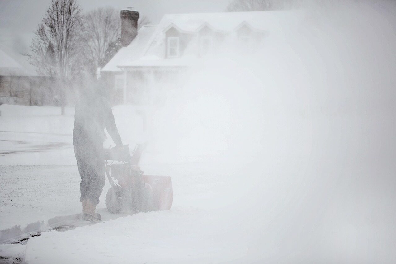
- Accompanying the snow will be strong northerly winds gusting up to 70–80 km/h, raising the risk of blowing snow, near-zero visibility, and drifting. CityNews Toronto
- Further south — including southern Ontario snowbelt areas near the Great Lakes — the system is expected to fuel lake-effect snow squalls, potentially dumping 20 to 50 cm of snow in some snowbelt zones, especially downwind of Lake Huron and Georgian Bay.
- Southern urban regions like the Greater Toronto Area (GTA) may avoid the heaviest snowfall, but strong winds of 60–80 km/h and possible snow bursts could still lead to hazardous conditions.
Given the evolving pattern and broad geographic reach, officials from Environment and Climate Change Canada are holding a media briefing late on November 26 to provide further details and expected impacts. Canada
The science behind the storm
Meteorologists say a combination of factors is fueling this early-season winter event:
- A shift in the Arctic air mass — sometimes linked to disruptions in the so-called polar vortex — is bringing unusually cold, dense air into the Great Lakes region. This cold air is arriving earlier than many years.
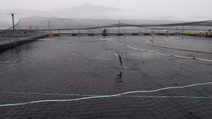
- That Arctic cold meets moist air interacting with the Great Lakes (especially Lakes Huron and Georgian Bay), triggering lake-effect snow squalls — a phenomenon notorious in Ontario and Quebec for dumping heavy snow downwind as air sweeps across relatively warmer lake waters. Yahoo News
- The low-pressure system over the lakes is expected to intensify, driving strong winds that contribute both to wind chill and to snow drift / blowing snow, which reduces visibility and increases danger on roads. Wawa News
Experts also note that late-November storms with this level of intensity are still somewhat early in the season — a sign that this winter could be an especially active one for Ontario and Quebec. CityNews Kitchener
Who will be most affected — and how
This storm stands to impact a broad range of people and communities:
- Northern and “snowbelt” communities — areas like Thunder Bay, Wawa, Kapuskasing, Timmins, and many small towns along and northeast of Lake Superior. Heavy snow accumulation (up to 60 cm) plus wind-driven snow drifts could make roads impassable, cut power, and disrupt daily life.
- Southern Ontario and Quebec drivers / commuters — even outside major snow zones, strong winds + sudden snow squalls or flurries could reduce visibility and make travel hazardous. Those commuting to work or doing essential errands will need to plan carefully.
- Urban regions (e.g. GTA, Montreal corridor) — while not expected to get deep snow, high winds, gusty conditions and sudden brief snow bursts could lead to scattered disruptions, icy patches, and slippery roads.
- Services and infrastructure — power lines, local utilities, rural roads, and transportation services may be impacted. Blowing snow and wind increase risk for outages, and drifting snow could hamper snow-removal efforts.
For many Canadians — especially in Ontario and Quebec — this may be among the first “real winter” events of 2025–26.
Practical advice for weathering the winter wallop
If you live in, or plan to travel through, affected regions, here are some practical steps:
- Postpone non-essential travel while warnings/watches are in effect, especially in northern or snowbelt areas facing heavy snowfall and wind-driven snow.
- Prepare your vehicle: ensure you have winter tires, a full tank of fuel, and an emergency kit (blanket, food, water, flashlight, phone charger). Visibility may drop to near zero — being stuck is a real possibility.
- Secure loose outdoor objects — garbage bins, patio furniture, signage — to avoid them being tossed by strong winds. Winds of 70–80 km/h can be enough to move unsecured items or damage property.
- Stay tuned to updates from Environment and Climate Change Canada, local news, and municipal alerts. With the new colour-coded alert system recently introduced by the federal government, weather warnings now carry a clearer sense of severity and urgency. Canada
- Be winter-ready early — with the early arrival of Arctic air and heavy snow, it’s a good reminder for Canadians to get winter tires on, stock up on snow-removal tools, and revisit emergency plans if they haven’t been updated for 2025–26.
What this storm means in the bigger picture
This early and potentially severe winter storm could be a harbinger of a rough 2025–26 season. According to long-range outlooks — including those from The Farmers’ Almanac — Canada as a whole may face “deep freezes, frequent snowfalls and powerful storms” this winter. SnowBrains
In that context, the current system may not be an outlier — but instead the first test of resilience for many communities, services, and infrastructure. Early preparation and awareness could make the difference.
For residents of Ontario and Quebec — from rural towns north of the Great Lakes to urban centres like Toronto and Montreal — this November storm is a clear signal: winter has begun in earnest.
Stay safe, stay warm, and stay informed.