USWNT icons, iShowSpeed among celebs to take in USMNT’s Round of 32 World Cup win


Latest news with clear views from the Eh, Eyewitness News team
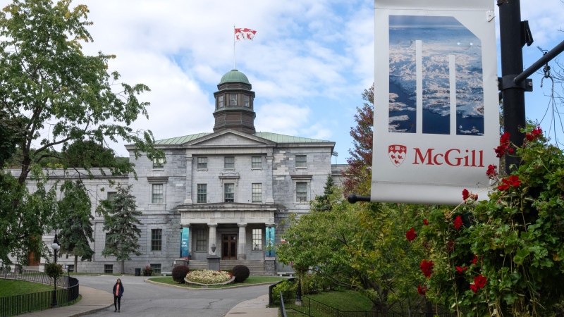
Canada’s leading research universities warn that a proposed foreign influence transparency registry could have an unintended “chilling effect” on international partnerships, meaning Canada misses out on cutting-edge opportunities.

Entegrus marked its 10-year partnership with Habitat for Humanity with a $20,000 donation as it returns as the charitable organization’s signature sponsor.

He was a loving son and brother, a loyal and kind friend, and a dedicated volunteer in Toronto’s east end, say those who knew and loved Mohammad Khasim.