
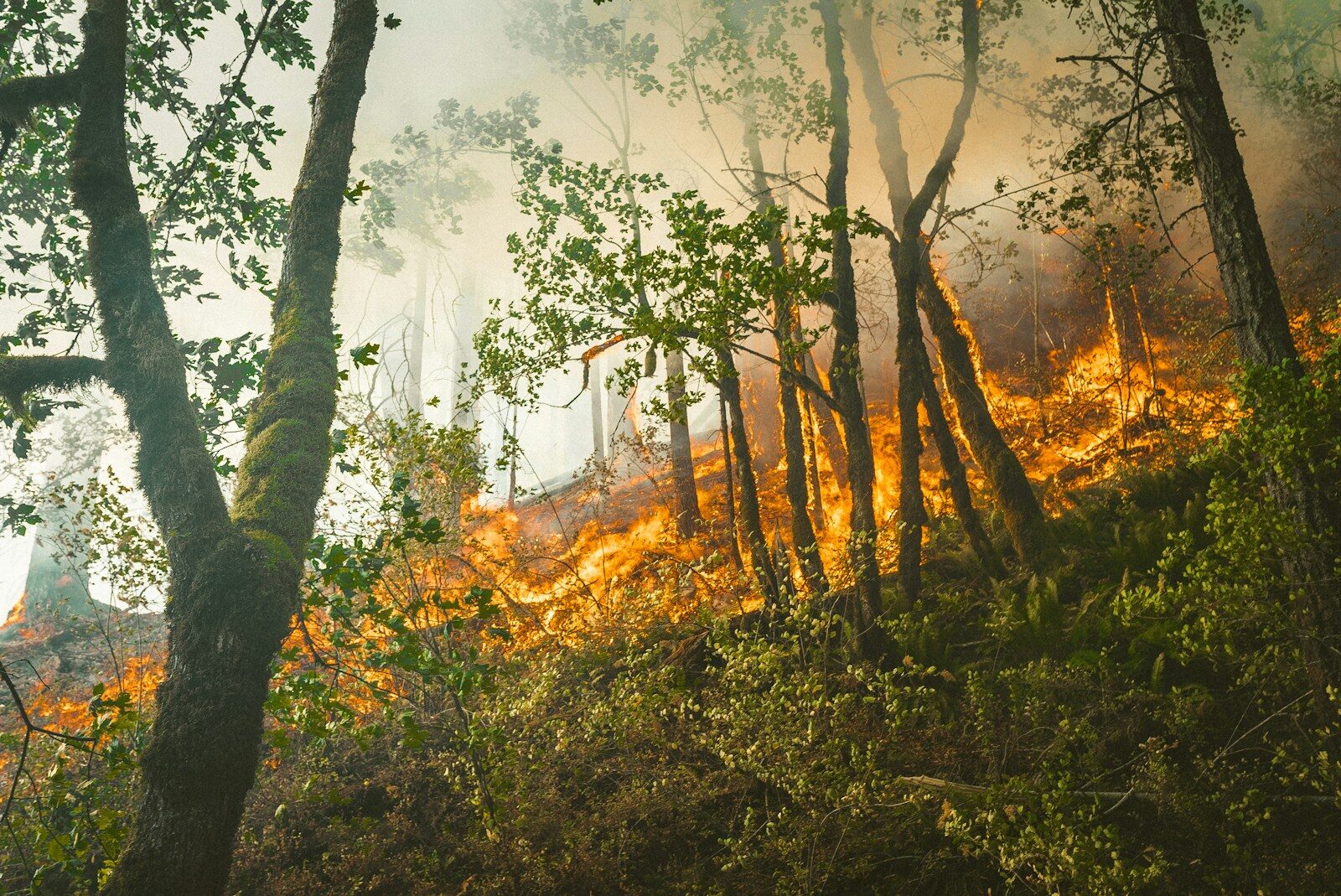
Federal and provincial emergency management officials confirmed that the current national wildfire situation remains highly manageable compared to the devastating crises of recent years. Driven by substantial spring and early summer rainfall across heavy chunks of Western Canada, the rapid acceleration of large-scale blazes has been temporarily suppressed. For resource operators, municipal leaders, and supply chain coordinators who spent the last two winters bracing for a repeat of the historic destruction of 2023 and 2025, the mid-summer statistics offer a brief operational reprieve. However, forestry experts and meteorologists are quickly warning that this structural calm is highly precarious, with shifting weather matrices threatening to ignite volatile northern and eastern interior canopies as the summer progresses.
The Canadian Interagency Forest Fire Centre (CIFFC) indicates a complex national landscape. To date, Canada has recorded approximately 3,137 wildfires this season, a figure slightly higher than the 2,913 blazes documented at the exact same point last year. However, the critical metric for risk assessment, total area burned, tells a vastly different story. So far in 2026, fires have consumed roughly 14,000 square kilometres (1.4 million hectares) of land, a steep drop from the staggering 46,000 square kilometres scorched by early July last year. While the numbers suggest a stabilized baseline, emergency responders emphasize that “manageable” does not mean risk-free. Intense regional flare-ups continue to break out, highlighted by the aggressive Brunswick Creek and Ainslie Creek blazes near Boston Bar, British Columbia, which recently triggered tactical evacuations and destroyed multiple properties in the Fraser Canyon.
The Meteorological Shield: Why the Prairies Found Temporary Relief
The primary mechanism keeping the early 2026 fire volume in check has been an uncharacteristic moisture buffer across the Western provinces. Throughout May and June, widespread and sustained precipitation patterns stalled the typical drying of forest fuels in Alberta, Saskatchewan, and southern Manitoba. This moisture recovery effectively insulated the forest floor, preventing holdover fires from previous seasons from flaring up and severely limiting the ignition capability of early-summer lightning strikes.
National Wildfire Comparison (Year-to-Date Baseline)
• 2025 Area Burned (Second-Worst on Record): 46,147 square kilometres
• 2026 Area Burned (Current Snapshot): 14,000 square kilometres
This rain-heavy pattern has kept the National Preparedness Level hovering at a stable Level 3 out of 5, meaning that while interagency resource mobilization is actively occurring, the demand for international crews or military intervention remains light. The structural breathing room has allowed provincial agencies to rebuild depleted equipment stockpiles and give over-extended frontline incident management teams vital recovery time.
The August Pivot: Analyzing Emerging Drought Corridors
For industrial decision-makers and infrastructure managers, relying on June’s rainfall data to plan late-summer operations would be a costly error. In a joint national briefing from Ottawa, the Honourable Eleanor Olszewski, Minister of Emergency Management and Community Resilience, clarified that the historical data from the spring is rapidly losing its relevance as a prolonged ridge of high pressure builds over the country.
Environment and Climate Change Canada’s latest predictive modeling points toward a severe mid-summer atmospheric shift. Over the back half of July and moving deeply into August, above-average temperatures are forecast to blanket almost the entirety of the Canadian landmass. More concerning are the explicit signals for below-normal precipitation across northwestern Ontario, northern Manitoba, the Northwest Territories, and the northern stretches of Quebec surrounding Hudson Bay.
High-Risk Sectors for Late Summer 2026:
• Northwest Territories & Nunavut (Deep structural drought)
• Northern Manitoba & Northwestern Ontario (Rapid moisture depletion)
• Southern Interior British Columbia (Elevated August threat matrix)
As these northern boreal forests endure prolonged heat coupled with minimal moisture recovery, the fine fuel moisture code, which measures the dryness of pine needles, twigs, and forest litter, is climbing back into extreme territory. Consequently, while the southern Prairies may remain insulated, the risk of massive, remote lightning-ignited blazes in Canada’s resource-rich northern corridors is accelerating rapidly.
Industrial and Logistical Implications of Regionalized Risk
The highly localized nature of this year’s threat environment creates unique operational hurdles for corporate logistics managers and resource extractors. Unlike the blanket smoke plumes that disrupted cross-continental transit in previous seasons, the 2026 season requires targeted, region-specific contingency planning.
In British Columbia’s interior, terrain physics are complicating containment efforts. In narrow corridors like the Fraser Canyon, steep topography creates natural wind tunnels, allowing human- or lightning-caused spot fires to balloon in size over a matter of hours. Furthermore, heavy smoke accumulation within these valleys frequently grounds aerial water tankers and reconnaissance helicopters, leaving ground crews to fight fires without vital air support.
For operators in the mining, oil sands, and utility sectors, this means that site-specific defensible space protocols must be maintained. Automated monitoring networks, remote sensor arrays, and emergency evacuation corridors should be audited immediately, particularly for assets situated in northwestern Ontario and the sub-Arctic zones, where municipal backup infrastructure is sparse and single-access roads are highly vulnerable to cut-offs.
Strengthening the Frontline: The Federal Mitigation Strategy
Recognizing that the current period of relative stability is a window of opportunity rather than a permanent solution, Natural Resources Canada has announced a targeted $1.25 million capital investment split across six specialized preparedness projects. This funding envelope is specifically directed toward bolstering the first-responder capacity of First Nations and Métis communities, including dedicated initiatives with the Métis Nation British Columbia and the Métis Nation of Ontario.
Because emergency management in Canada operates on a tiered, bottom-up regulatory structure, local authorities are the first line of defense. When a local municipality or Indigenous community is overwhelmed, they escalate requests to the provincial public safety agency. Only when provincial asset pools, such as specialized water-bomber fleets, are entirely exhausted does the jurisdiction issue a formal Request for Federal Assistance (RFA) to the Government Operations Centre in Ottawa. By embedding advanced training and equipment directly within remote Indigenous communities, the federal framework aims to extinguish starts before they scale to the point of requiring national intervention.
The Danger of Compounded Complacency
The overarching takeaway for the summer of 2026 is that a manageable wildfire season is an operational metric, not a guarantee of long-term safety. While the country is in a significantly stronger position than it was during the historic burn periods of the past three years, the underlying structural vulnerabilities of the Canadian landscape have not changed. Decades of cumulative drought, coupled with an accelerating climate shift that brings sudden, intense heatwaves, mean that a stable region can transform into an active combat zone within a 48-hour weather cycle. Resource operators, safety officers, and community leaders must utilize this temporary reprieve to fortify infrastructure, refine evacuation logistics, and eliminate operational vulnerabilities, ensuring that when the atmospheric shield inevitably breaks, the nation’s defenses are fully prepared to absorb the impact.